Vegetation Regeneration Mapping Program
Categories: Habitat Recovery
Status: In Progress
About the Project
The ABMI is advancing the mapping of vegetation on human footprint features through its Vegetation Regeneration Mapping (VRM) program.
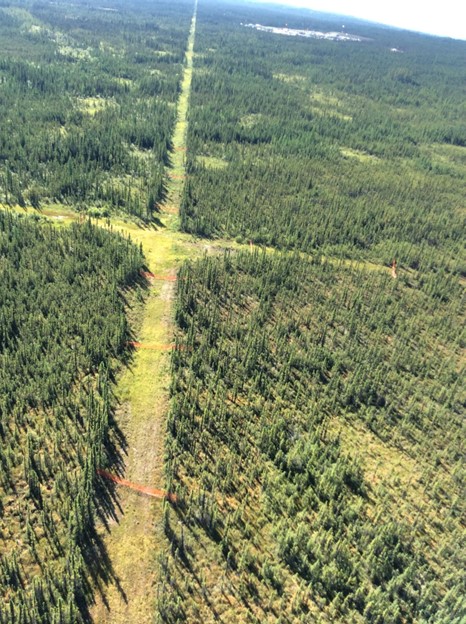
The ABMI is advancing the mapping of vegetation on human footprint features through its Vegetation Regeneration Mapping (VRM) program. This multi-year program is designed to track and quantify forest regeneration across disturbed landscapes such as seismic lines, wellsites, pipelines, cutlines, and roads, with a particular focus on Alberta’s Oil Sands Region and in caribou range. The VRM program includes several sub-projects including:
- Caribou Habitat Tracking (CHT) Project
- Habitat Mapping of Forest Regeneration in Alberta’s Oil Sands Region
- Vegetation Inventory of Legacy Seismic Lines in the Richardson Caribou Range
- Vegetation Inventory of Legacy Seismic Lines in the West Side Athabasca River Caribou Range
- Vegetation Inventory of Legacy Seismic Lines in the Chinchaga Caribou Range
- Enhanced Forest Inventory through Multi-Spectral LiDAR Acquisition
- Linear Disturbances Mapping in Northern Saskatchewan using Lidar Technology
Leveraging high-resolution airborne lidar, aerial imagery, and artificial intelligence, the VRM program detects and measures vegetation structure, composition, and recovery trends across broad spatial scales. Airborne data and machine learning models are also used to accurately delineate and map linear disturbance features (e.g., seismic lines) across a large portion of central and northern Alberta.
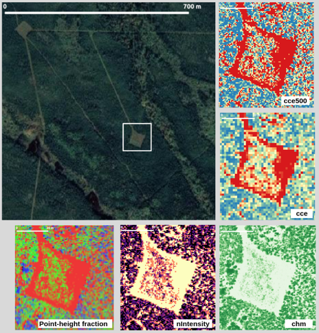
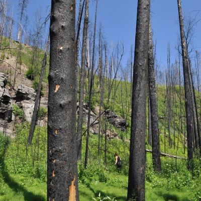
photo: Branko Hricko
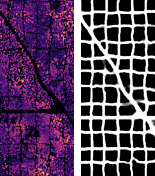
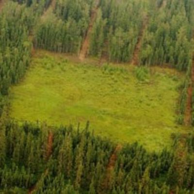
photo: Branko Hricko
By the end of 2025, the program aims to complete vegetation mapping on human footprint features across all caribou ranges in the province and approximately 45% of the Alberta Oil Sands Region. These data enable more accurate, repeatable assessments of vegetation recovery on both linear and polygonal disturbances, providing critical insights for land managers, regulators, and restoration practitioners. Ultimately, the VRM program supports science-based decision-making for reclamation planning, species at risk recovery, and cumulative effects management.
Alberta Environment and Protected Areas
Forest Resource Improvement Association of Alberta
Weston Family Foundation
Alberta-Pacific Forest Industries Inc.
Oil Sands Monitoring Program
Main photo: Robert Serrouya
The Biodiversity Trajectories (BDT) project is a multi-year, collaborative project between the ABMI and seven forestry companies in Alberta.
The ABMI’s Ecological Recovery Monitoring (ERM) project assesses ecological recovery of certified reclaimed oil and gas wellsites.
The Peltigera project aims to expand our understanding of Peltigera lichen diversity in Alberta through genetic markers. Building on the research done by global Peltigera experts, we hope to use genetic data to both verify our identifications and detect new species to the province.
